Habitat Modeling and Mapping Priority Habitat
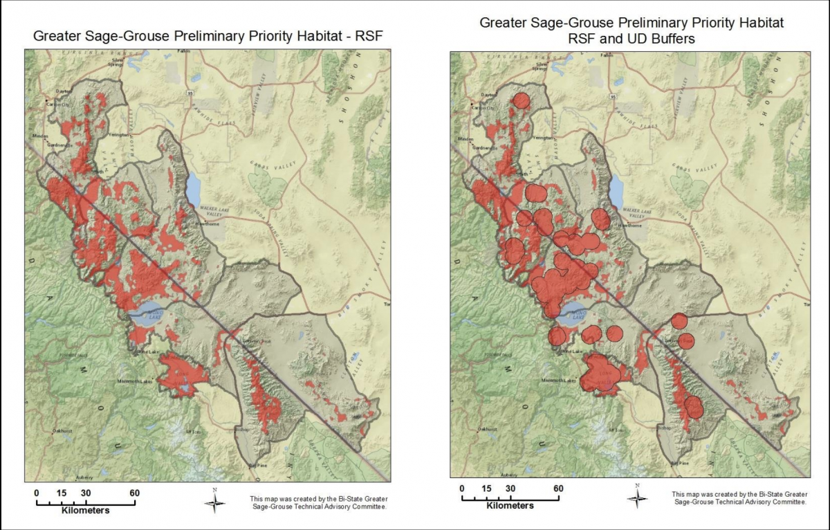
Habitat models are important tools in identifying key areas utilized by Bi-State sage-grouse based on habitat characteristics, telemetry locations and vital rate data. The Bi-State sage-grouse habitat map is based on two well-accepted modeling approaches: resources selection functions (RSFs) and utilization distributions (UDs). RSFs and UDs were used to identify areas important to these populations based on associations with certain environmental characteristics and space use by sage-grouse respectively. RSFs were used to develop habitat suitability indices that rank areas based on a continuum of highly used to strongly avoided. UDs provide a probability distribution surface, which indicates where populations occur in relation to active lek sites. Both processes were driven by actual location data obtained using radio-telemetry information.
These model derived maps inform the implementation of land management agencies regulatory mechanisms and help prioritize conservation efforts across the landscape.